.jpg)
Project
- ARI Powerpoint Progress Report
- ARI Powerpoint Final Presentation
Purpose
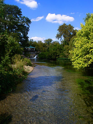
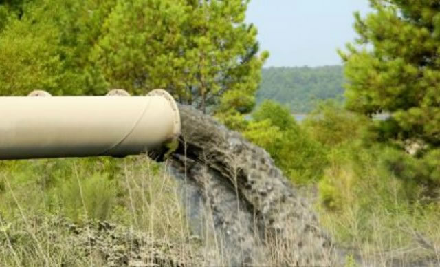
The purpose of our project is to map and analyze wastewater spills that have occurred in Texas Commission on Environmental Quality (TCEQ) Region 11 within the last five years. The geovisualization of this data is expected to enhance GEAA’s understanding of the distribution, gallon amount, frequency, and causes of wastewater spills that may be a hazard to aquifer health. Additionally, the interactive mapping portion of the project is aimed at enhancing the public’s understanding and concern for wastewater spills that may affect their health by polluting groundwater reserves.
Scope
Besides the spatial and temporal limitations of our project, ARI is also only obtaining spill data from TCEQ, and therefore only mapping and analyzing spills amounting in over 500 gallons. We have been looking predominantly at the first priority counties in the Request for Proposal (RFP), Hays and Travis while also adding Williamson County to provide a more clear result.