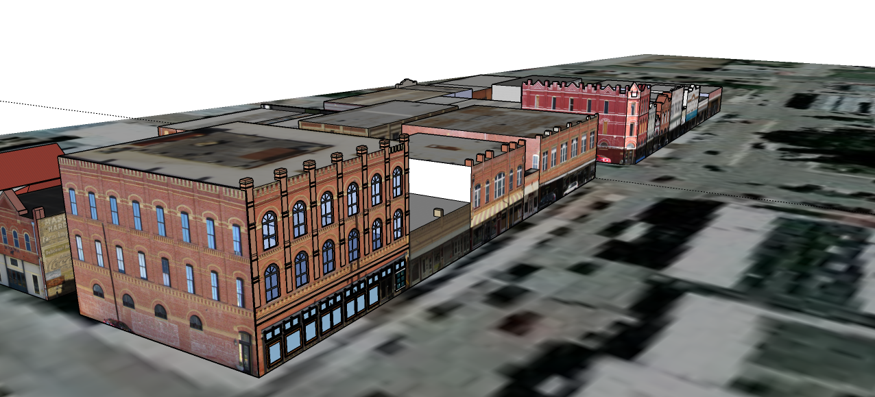
By collaborating with the City of Lockhart, the 3 Dimensional GeoVisualization SQUAD (D3GVS) has created a three-dimensional model of Downtown Lockhart, TX. As State Highway 130 nears its expected completion (in 2012), the City of Lockhart is anticipated to experience both financial and residential growth. D^3GVS used free, open-source software such as Google SketchUp 8 and Microsoft Photosynth. The 3D model of Lockhart D3GVS has generated will be integrated with Google Earth and displayed as a web application on the City of Lockhart website.
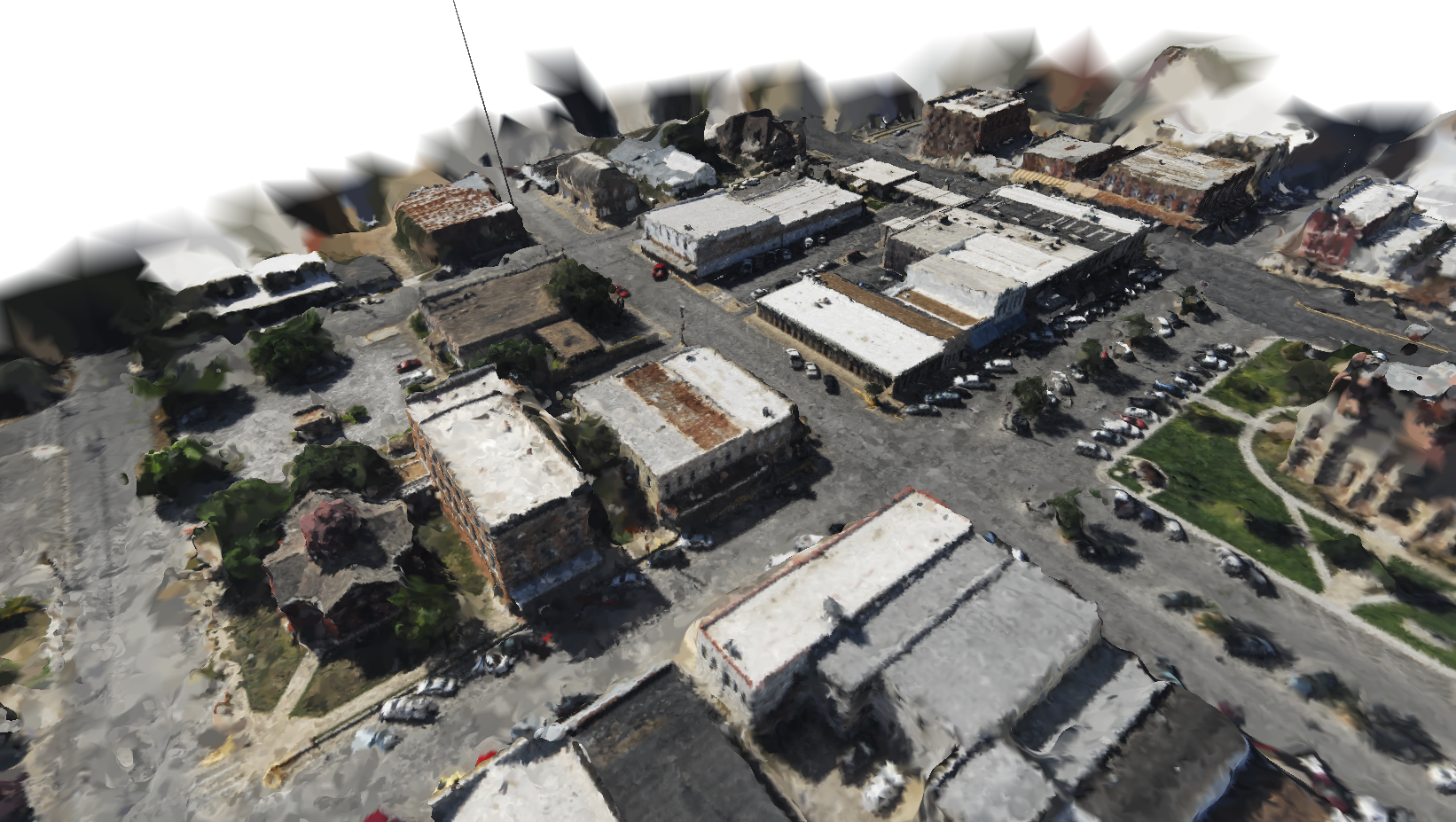
Though our project mainly incorporated Google SketchUp to build our models, we have experimented with point cloud data derived from Microsoft Photosynth to determine if such a methodology could be used to develop georeferenced 3D reconstructions. For more information on this subject, look under the "Sources" tab under "Visualizing Lockhart".

3D Reconstruction of Lockhart using post-processed point cloud data. |
3D Reconstruction using Google SketchUp |
|---|