Project Overview
The purpose of this project is to create a model which will rank locations by their need for sidewalk infrastructure within San Marcos, Texas. The city is developing its new comprehensive plan, in which transportation will be an important component. Developing a methodology to locate new sidewalk development will help the City of San Marcos best utilize funds on areas most in need of pedestrian infrastructure. Research will be conducted regarding sidewalk development costs and types. The end product will include cost estimates for sidewalk development at numerous locations within the San Marcos City Limits.
Methodology
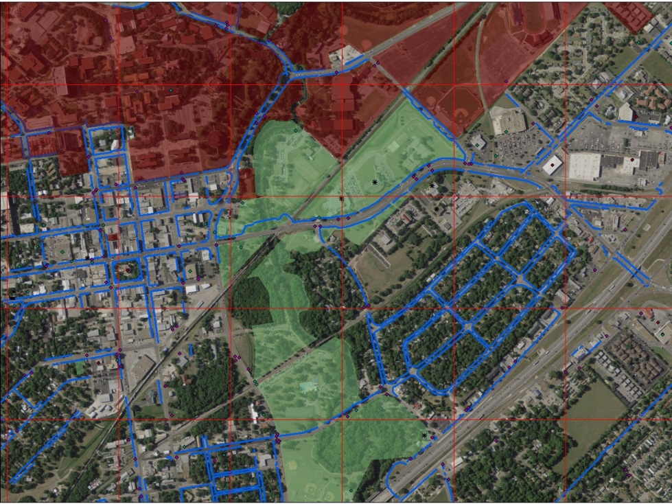
To prepare data for processing, first we will need to create several new layers. These layers will contain locations and information regarding pedestrian traffic generators, such as pharmacies, grocery stores, and low-income housing. Additionally we will need to create a layer that shows gaps in the sidewalk inventory, which inventories areas with no sidewalks by placing center points in the gaps of the present sidewalk inventory. Our site selection of areas in need of sidewalks will come from this layer. Sidewalk CIP projects will be omitted from this layer. We will create factor ratings and weights for the sidewalk. This will rank each criterion in importance, relative to its need for sidewalk access. These factor ratings will then be associated with the sidewalk gap layer through the use of buffers. Each factor associated with a sidewalk gap point will then converted to its own layer in raster format to be used for our analysis. In addition to developing our model, we will test its certainty and make adjustments to our data and methods to account for any discrepancies in our model's performance. This will be done by running our model multiple times, each with different buffer radius lengths.
Conclusion
In conclusion, our project will develop a model to rank sidewalk development locations based on criteria such as schools and medical facilities. We will produce maps using our model results that will illustrate locations within the San Marcos city limits in need of sidewalks. Our model concept is based off of research done by others, as well as GIS suitability modeling. Our hope is that our project will provide a valuable resource for the City of San Marcos as pedestrian infrastructure developments are planned. Allocating funds to the areas in need of development most is critical, and we will endeavor to create as accurate and sensitive a model as possible.
Project Scope