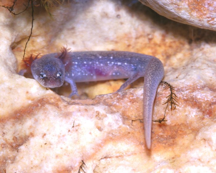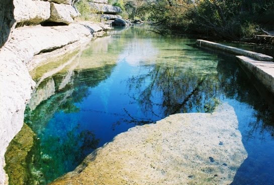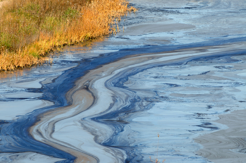
The Edwards Aquifer, located within 12 counties in Central Texas, is a natural karst aquifer that has provided life to South Central Texas for over 12,000 years and currently serves approximately 1.7 million Texans. The Aquifer can be broken down into four different zones: the contributing zone, the recharge zone, the transition zone, and the artesian zone. The focus of this project will be looking at the Recharge Zone which spans 1,250 miles and allows large quantities of water to flow into the aquifer due to the fractured and fragmented limestone geology. Although the Edwards Aquifer hasn’t changed in the last several thousand years, the environment around the aquifer has been altered to fit the needs of the people of South Central Texas, including adding man-made structures, such as pipelines, that if leaked into the ground water system could potentially harmful to not only humans, but also to the environmentally sensitive ecosystem that surrounds it. The recharge zone is characterized by its unique limestone surface which is cracked and split, allowing surface runoff to enter into and recharge the aquifer. However it is the geology of the recharge zone which makes it vulnerable to pollution and wastewater. By looking at the quantity of wastewater that is accidentally spilled into the recharge zone, the GeoTex Environmental Solutions team can examine and assess the vulnerability of streams related to these spills. We will produce maps which will explore the relationship between the locations, dates, and volumes of wastewater spills in terms of their proximity to streams and other recharge features. An interactive map component will also be made and available to the public in an effort to heighten awareness of this issue throughout South Central Texas.
See what we have created so far:
http://geotex.nfshost.com/