About Us
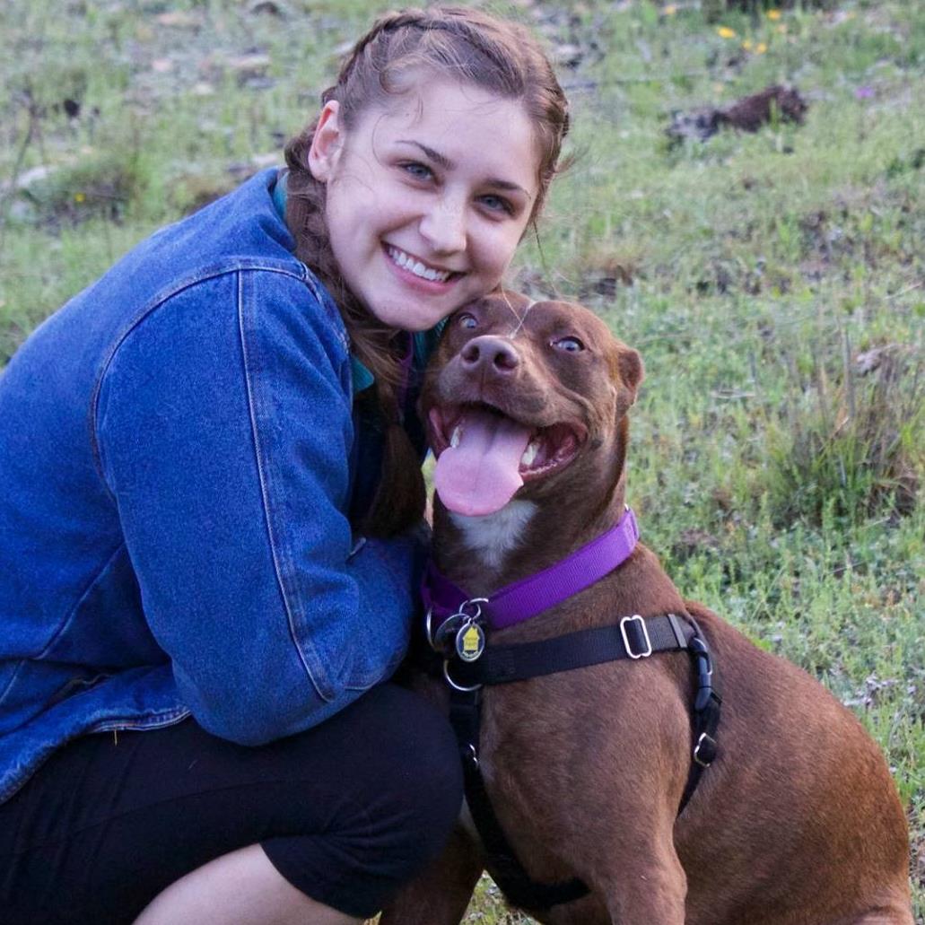
 Emily Lundy |
Emily Lundy is a senior, graduating Spring 2021 with a B.S. in Resource and Environmental Studies and a minor in Media Studies as well as a GIS certification from Texas State University. She grew up in Austin, hiking through greenbelts and spending as much time outside as possible, which placed in her a deep respect for the natural world that has translated to an interest in protecting and preserving nature. She is hoping to find a career that involves getting outside to do field work as well as using GIS to find solutions to current environmental issues. Contact via E-mail |
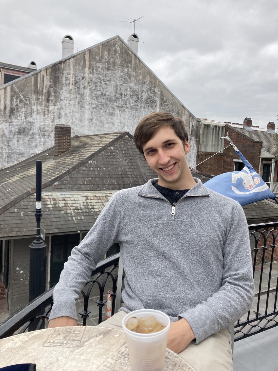
 Eric Fotey |
Eric Fotey is a senior, graduating in Fall 2021 with a B.S. in Geographic Information Science with a Minor in Geology and a Location Analysis certificate from Texas State University. He has also worked as an intern twice for Texas State University first, he helped a professor by georeferencing NASA satellite imagery, which would later be given to the Johnson Space Center as reference points for further study. Then he worked as an intern aiding a professor in his studies by delineating flood regions by using GIS to study Hurricane Harvey. He plans on going to graduate school to get his masters in GIS then traveling the world to create maps that have never been thought of before. Contact via E-mail |
Samantha Bechthold |
Samantha Bechthold is a senior of Texas State University. Graduating spring of 2021 with a B.S. in Water Resources and a minor in Public Administration as well as a certificate of GIS. Raised in Weatherford Texas she has always had an interest in geography spending most of her university career learning multiple skills that will help pursue a career in water resources. Such as water sampling, bioassessments, and GIS. Contact via E-mail |
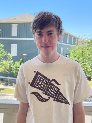
 William Kesler |
William Kesler is a senior at Texas State University, B.S. in Environmental Studies and a minor in Business Administration, with certifications in urban planning, Geographic Information Systems, and Location Analysis. While a student, he participated in two internship programs. One of these involved participating in a project to georeferencing satellite imagery for use by NASA. In addition, during the summer of 2020, he completed a second internship, which involved using GPS to survey a parcel of land and analyzing the results with GIS software. He hopes to pursue a career in location Analysis, integrating the disciplines of geography and business. Contact via E-mail |