Flame Consulting
Summary
Due to the dramatic increase of the population within Travis County, wildfire mitigation has been a key focus for the city of Austin. Flame Consulting teamed up with the Austin Fire Department Wildfire Division and Steven Casebeer, Geographic Information Systems (GIS) Analyst, to identify areas within the Wildland Urban Interface (WUI) that are at risk to wildfires and locating the nearest refuge facilities to those affected. These areas consisted of neighborhoods, daycares, and assisted living facilities.
Purpose
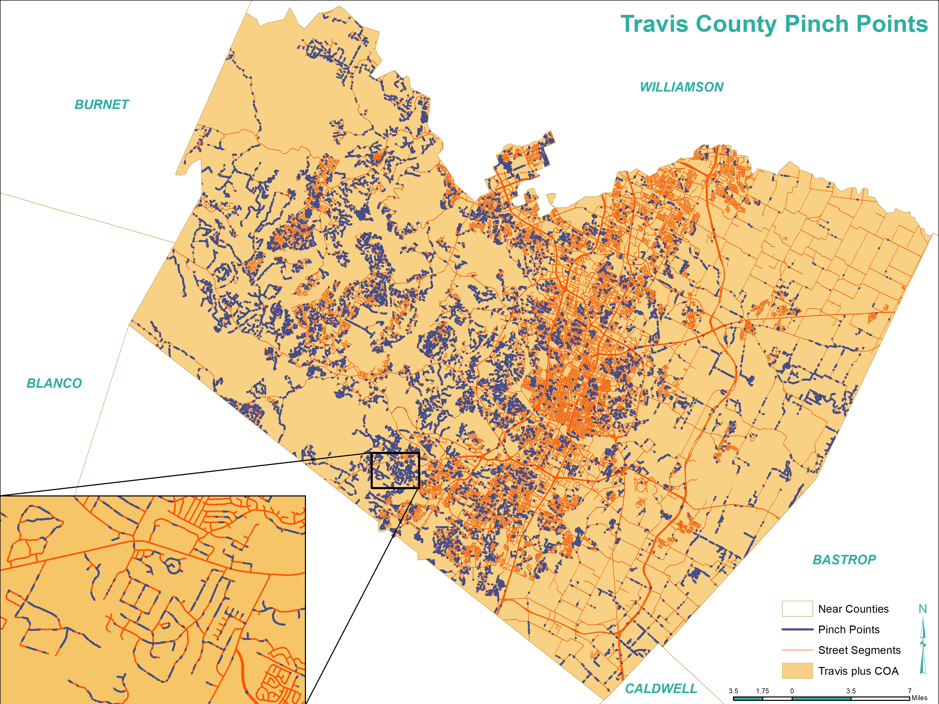
Flame Consulting identified pinch points, where the flame length would exceed more than half of the road width causing routes to be impassable in the event of a wildfire, at-risk communities, community refuge areas, and vulnerable facilities. The data provided will help set the framework for further analysis to plan and model evacuation processes and to identify which risk reduction efforts are most important for the residents of Austin.
Conclusion
The project that Flame Consulting worked on was successful in finding the wildfire pinch points in the WUI and Travis Country corridor. With the high-quality data provided to us by our client, we were successful in being able to find at risk neighborhoods, refuge areas and vulnerable locations in the WUI as well. We enjoyed having the opportunity to work on this project because it allowed us to put our prior GIS knowledge to the test and apply it as individuals and as a team to a real-world situation. We believe this project will be useful in our future endeavors on how to apply what we know to real-world situations as well as how to work on a team. Our teamwork guided us in making the best decisions together for the work we are going to turn in. After completing this project, we are confident we provided our client with groundwork to someday aid them in the future of wildfire evacuation analysis.

Pinch Points