Classifying Intersections and Interchanges
Summary
The Federal Highway Administration requires, for safety purposes, that state governments maintain a list of attributes for roads as part of what is known as the Model Inventory of Roadway Inventory (MIRE). In the Texas this is the responsibility of the Transportation Planning and Programming (TPP) division of TxDOT. Spatial Solutions helped TPP develop a method of categorizing road intersections based on the intersection geometry, apply unique identifiers and location descriptions to intersections and interchanges.
Purpose
The purpose of our project is to develop a method to help TPP identify and classify the road intersections in Travis county in an effort to keep Texas in compliance with the federal guidelines outlined by the Federal High Administration.
Methods
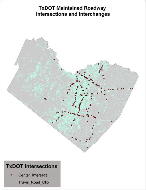
The road data was first filtered by selecting only the roads of interest to the project. These roads include roadways that are maintained by TxDOT and roads that intersect with them. The Intersect Tool in ArcMap was then used to find the intersections of all road centerlines. The smallest angle of intersection was found using the Near Angle Tool. The intersections were classified into types of geometry using the road angles and number of legs at each intersection. The "real" and "false" intersections were separated using a SQL inner join. We finally assigned unique and location identifiers to all real intersections.
Conclusion
We were able to successfully add unique identifiers to all intersections and interchanges. A location identifier for all road intersections was also added. Python scripts we developed were able to calculate the angles between road centerlines and categorize intersections by geometry.
Intersections and Interchanges