
About us
Although much has been done to understand, quantify, and delineate the natural and
environmental hazards affecting the Greater Houston area, there have not been any
efforts to spatially display the shelter network that is utilized by the Greater
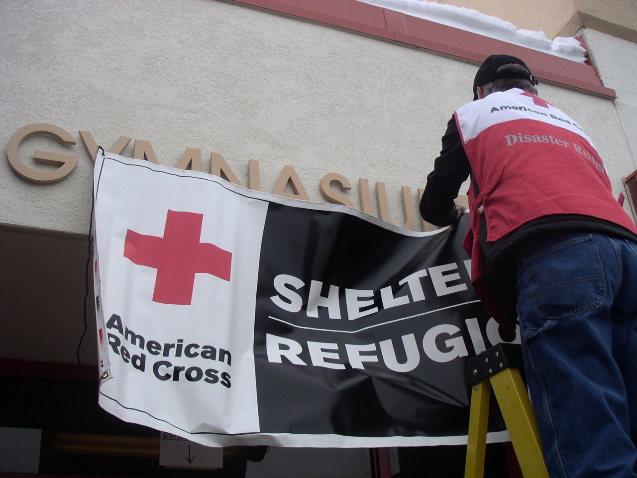
Houston Area Chapter of the American Red Cross (GHAC). Emergency Management Solutions
Group (E.M.S. Group) set out to give the GHAC a tool that could be used to save lives.
Utilizing geographic information systems (GIS), we gave the GHAC a very detailed and
organized geographic information system that we felt would best serve not only the community,
but also the GHAC organization. In our research we looked at multiple shelter sites,
floodplain information, socioeconomic factors as well as hurricane surge zones, and chemical
plants. It is our hope that the work we invested will streamline efficiency and decision
making process of the GHAC staff and volunteers when an event occurs as well as plan for and
coordinate during a disaster event.
- Display facilities to assist pre-disaster preparedness and immediate disaster coordination
- Identify areas underserved by Red Cross facilities
- Define demographic and economic characteristics at census tract level
- Provide empirical review of flood and storm surge scenarios to locate potential facility closures
Who we are
Chris Honeycutt | Jeffrey Gravett | Chris Brown | John Jennings | Rockford Lyle
Home | Maps & Projects | Contact | Documents| Greater Houston Red Cross
Site Design by E.M.S.G., 2009 | Contact Webmaster
Back to class webpage GEO4427 Fall 2009
Department of Geography at Texas State University - San Marcos, TX