


 |
An overview of Kilimanjaro's climate |
|---|---|
 |
The mean annual temperature around Moshi township (elevation 813 meters) averages 23.4 degree C. As the peak is ascended the mean temperature decreases. At 3,100 meters the mean temperature is 9.2 Degrees C, at 4,000 meters the mean temperature is 5 Degrees C, and near the peak at 5,800 meters the mean temperature is -7.1 Degrees C. The lapse rate (a measure of temperature change versus elevation change) is approximately 0.6 Degrees C per 100 meter change in elevation. |
|
|
|
The climate is of Kilimanjaro is mainly equatorial in nature, with two distinct rainy seasons: the long rainy season from March to May, and the short rainy season in November. July through October are the driest months, while April and May are the wettest. |
 |
|
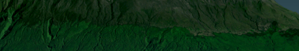
Select a different mountain zone for a description. Click on the mountain! |
Because of Kilimanjaro’s location near the equator and the Indian Ocean , the predominant winds in the area allow for greater amounts of precipitation on different sides of the mountain. In this case, a greater amount of precipitation falls on the southern slopes. The rainfall is highest around 2,100 meters elevation on the central southern slope, averaging 3,000 millimeters of rain per year. The region from 1600 to 3100 meters elevation provides 96 percent of the water coming from the mountain. (OECD, 2003) |