The Golden-cheeked Warbler (GCWA) is one of the most charismatic birds found in Texas, being federally endangered due it it’s limited geographic range it is very important to monitor its habitat size and quality. This project is being done for the Greater Edwards Aquifer Alliance (GEAA) to help identify areas of habitat loss which is intended to aid in their efforts to conserve and protect land that lie in conjunction with the Aquifer they protect. Previous studies have provided input on the best way to identify GCWA habitat and rank its suitability and is the basis of our methodology. We took satellite imagery and masked it by a habitat suitability model from 2005-2007 and then classified the vegetation within as either forest or non-forest. Once the non-forest was removed we assumed the remaining forest was the correct vegetation type because we it was taken from the previous model. With our vegetation we ran a neighborhood analysis to rank the vegetation into suitability. We then focused on areas of 80-100% forest from both our new 2010 model and the previous 2005-2007 model in order to determine the amount of loss. The results were satisfactory and we have discovered a lot of room for improvement. This analysis should only be considered a starting point in identifying major areas of loss and thus it is noted, the amount of loss we calculated should be considered an over estimation. Overall the project has been a tremendous learning experience for the whole team and we hope that our efforts will aid either the GEAA or any future studies that attempt the same task.
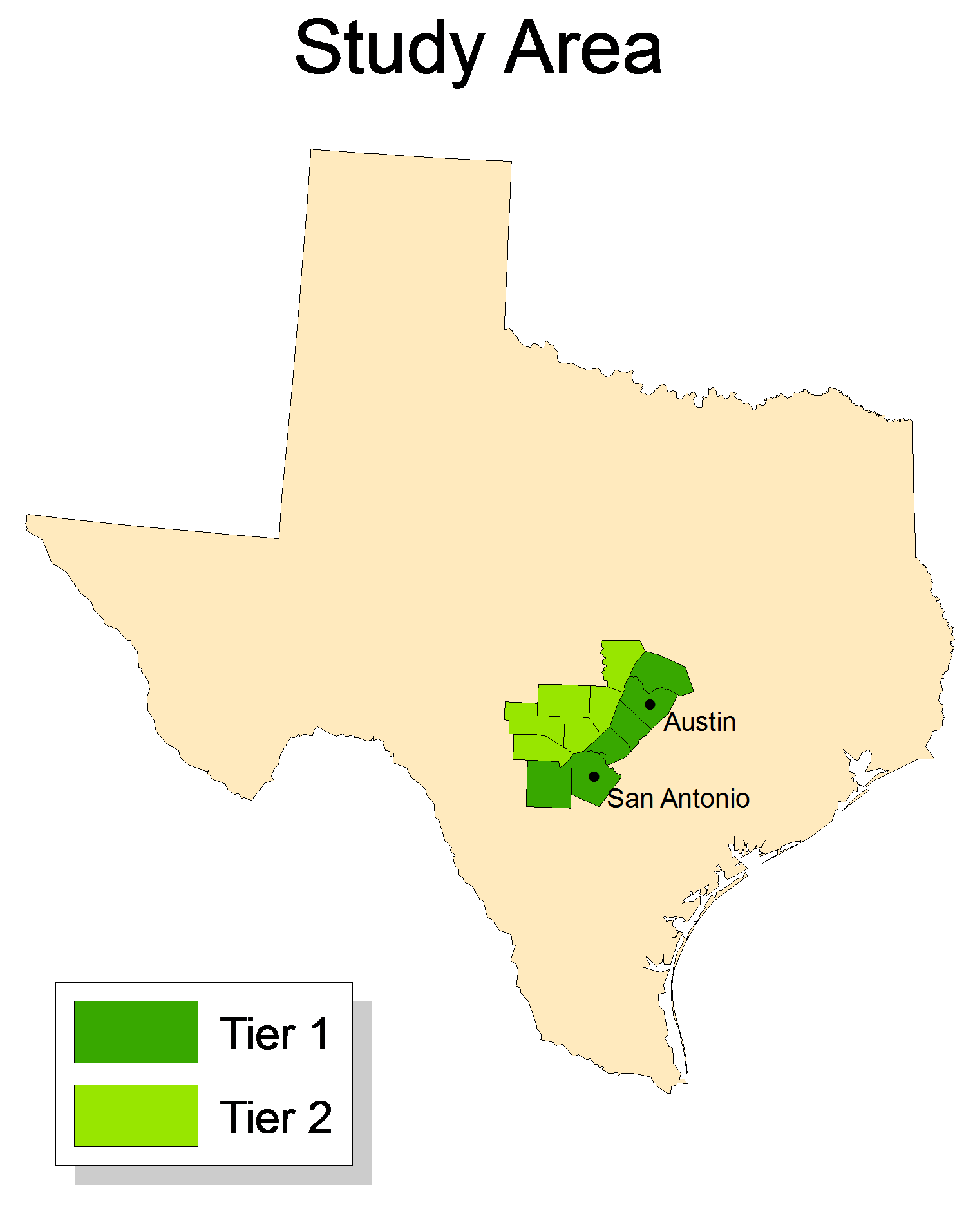
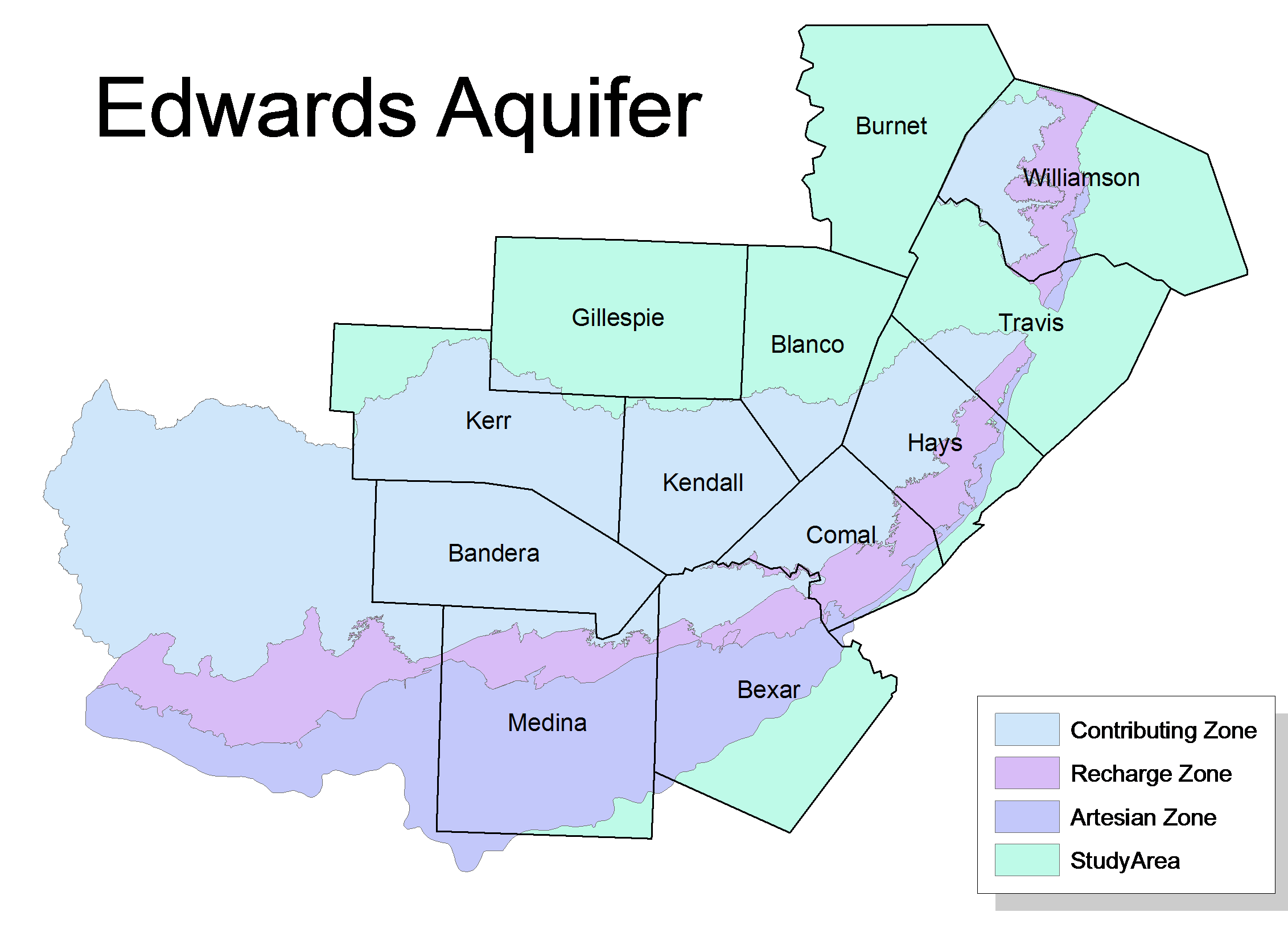
The analysis area will be focused on both areas tier 1 and tier 2 as defined by the Greater Edwards Aquifer Alliance. Tier 1 includes Bexar, Comal, Hays, Travis, and Williamson counties while tier 2 is defined as Medina, Bandera, Kerr, Kendall, Gillespie, Blanco, and Burnet counties. This area is of interest to the Edwards Aquifer Alliance since the GCWA habitat coincides with the Edwards Aquifer Alliance jurisdiction region.