Hill Country Planning
Summary
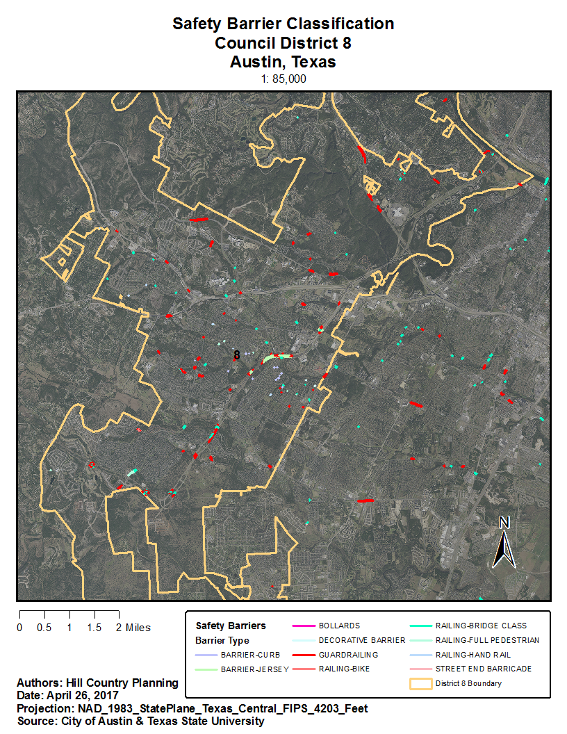
Hill Country Planning digitized 290 safety barriers and 218 Safety End Treatments (SETs) in Council Member District 8 for the City of Austin, Texas Public Works Department. The Public Works Department could utilize this data to track maintenance logs remotely as well as provide information to their work crews such as precise location information what material are the barriers and safety end treatments are built out of. This project is a part of the greater project of digitizing all of Austin's infrastructure assets.
Methods
The City of Austin provided us all available data to assist us digitize their safety barriers that cross a stream crossing. All barriers were digitized through ArcMap Desktop software. Hill Country Planning divided up the 162 stream crossing amongst ourselves. With our best judgement we categorized all barriers by Barrier type and Safety End Treatment type.
Google Map's Street view further assisted in all barrier or safety end treatment identification. We copied at least one URL into the attribute tables for each line segment for easy reference when using the identify tool. We merged all data into one feature class after all digitization was processed. The 162 stream crossings turned into 508 safety barriers and safety end treatments for District 8 of Austin, Texas.
Conclusion
By digitizing safety barriers in Council District 8, the Public Works Department of the City of Austin can respond to maintenance issues with damaged barriers and locate places for new safety barriers in a more efficient manner. This will lead to a better rapport with the citizens in this area, increasing positive relations with local government. This project allowed our group to gain experience with the digitization process, which will allow us to use our editing skills in the workforce.
Safety Barrier Classification