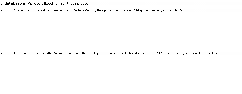
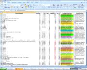
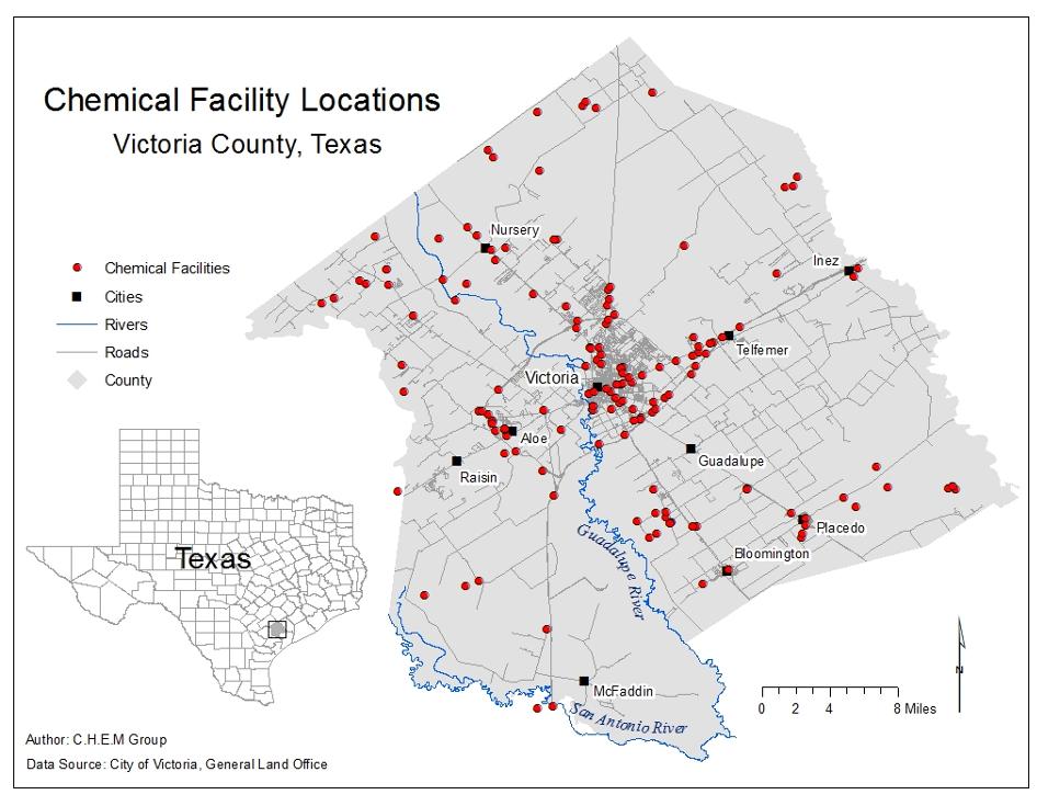
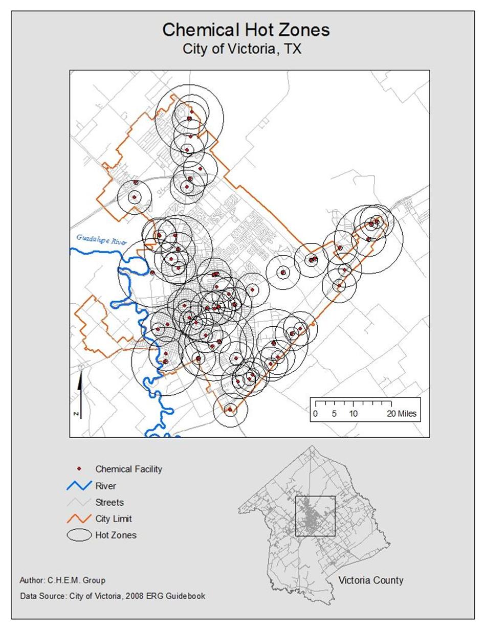
C.H.E.M. Group

Chemical Hazard Emergency Management: GIS Solutions


Final Results

Text Box: A database in Microsoft Excel format that includes:
An inventory of hazardous chemicals within Victoria County, their protective distances, ERG guide numbers, and facility ID.  


A table of the facilities within Victoria County and their facility ID & a table of protective distance (buffer) IDs. Click on images to download Excel files.
Text Box: Shapefiles of each individual chemical facility to be displayed with GIS software. We also created an Interactive Online Map using Manifold software. This map allows users to see examples of the shapefiles in an non-ArcMap environment. Click to see our Interactive Map.
Text Box: Maps of Victoria County chemical facilities and their buffer zones:
Text Box: .KMZ files for the LEPC to view the facilities with Google Earth, seen here.